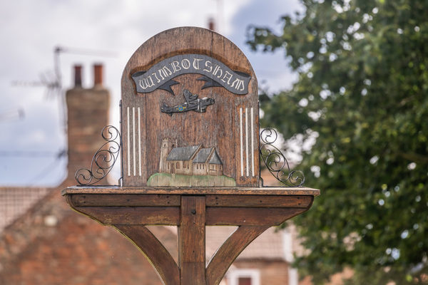
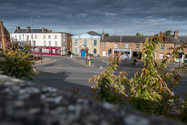
Honey Hill – Bus Stop
The Honey Hill Wimbotsham Bus Stop is on Lynx Route 37 – King’s Lynn to Downham Market (then Southery and Ten Mile Bank) via Hardwick Road and West Winch.
Route 37 starts at King’s Lynn Bus Station and ends at Stevens Crescent at Ten Mile Bank.
During weekdays and on Saturdays, buses run up to every hour. View the full timetable on the Lynx website.
Site Information
Opening Times:
Monday - Saturday
Email:
Website:
Address:
Honey Hill Bus Stop, Wimbotsham, King's Lynn, PE34 3QB, Norfolk
Gallery
Nearby Trails
Wimbotsham walk
0.02 Miles Away
Stride out along quiet, tree-lined tracks from the peaceful village of Wimbotsham. A very pleasant and uplifting walk
View Trail
Wimbotsham walk FRW
0.02 Miles Away
Stride out along quiet, tree-lined tracks from the peaceful village of Wimbotsham. A very pleasant and uplifting walk
View Trail
Bridle Lane, Rabbit Lane Walk
0.71 Miles Away
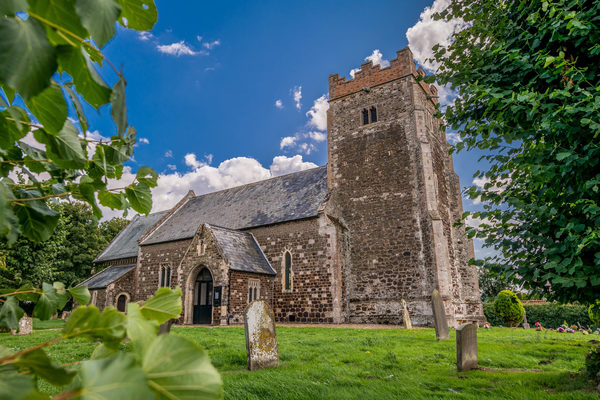
This route provides a great opportunity for an easy walk surrounded by fields, giving a wonderful sense of open space. The St Edmund’s churchyard and cemetery site is largely neutral grassland (both mown and unmown) with some scrub area. Grassland species found here include sheep’s sorrel, creeping buttercup and common mouse-ear. Common bird’s-foot trefoil, tufted vetch and lady's bedstraw can also be found in the unmown area of grassland.
St Edmund’s Church is seen on your left as you approach Cannon Square from Rabbit Lane, the church having Norman origins.
View Trail
Cock Drove walk
0.85 Miles Away
The range of soft, grassy and tree-lined paths cleverly designed in to this predominantly built-up environment makes this an ideal door-step walk.
Paradise Road was named so as it is thought that the Town Gallows were sited here and that it was the closest that the poor souls who were about to suffer this fate would get to paradise before passing on.
Cannon Square takes its name from the ancient cannon that was kept in front of Cannon House at the Northern end of the High Street. Two smaller cannons were also kept by the front door of the Castle Hotel.
View Trail
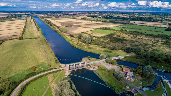
Fen Rivers Way from Denver Sluice to King's Lynn
0.9 Miles Away
The Fen Rivers Way runs for nearly 50 miles between the historic settlements of King’s Lynn and Cambridge. The distance between King’s Lynn and Denver Sluice is 14 miles, tracing the course of rivers that drain slowly across the Fens into the Wash. The distinctive fenland landscape has been heavily influenced by man, its fertile agricultural land dissected by dykes, rivers and embankments, constructed over centuries in the struggle to reclaim the land. The area is dominated by dramatic open landscapes and vast skies.
View Trail